The Trails.
|
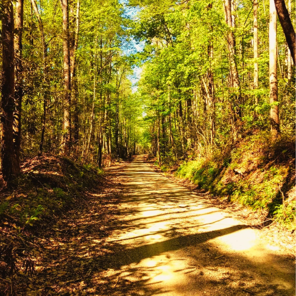
This trail is located in the Indian Boundary Lake area near Tellico Plains, Tennessee. The ride departs from the Miller Ridge Trail parking lot and directions are marked by National Forest Service "horse trail" signs.
Distance: The departure location is approximately 5 miles (15 minutes) from the parking lot of the Indian Boundary Lake General Store or 15 miles (25 minutes) from the Tellico Beach Drive-In on the Cherohala Skyway. Directions: To reach the departure point for riding, 0.3 miles from Indian Boundary Lake Road, turn off the Cherohala Skyway (HWY 165) onto Raftner Road. Raftner Road is a gravel road. Head straight and follow the road for approximately 1.6 miles until you reach a sharp left turn. Follow the road left and continue driving for another 1.4 miles until a sign for Miller's Ridge appears. Turn right and follow this road a short distance to a large gravel parking lot. |
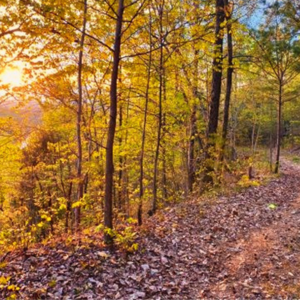
This trail is located near Starr Mountain area near the entrance of the Hiwassee Ocoee State Park near Delano, Tennessee. The ride departs from the Lost Corral Horse Camp and directions are marked by National Forest Service "horse trail" signs.
Distance: The departure location is approximately 1 mile (3 minutes) from HWY 411/Spring Creek intersection or 7 miles (11 minutes) from Starr Mountain Outfitters (no affiliation) in Etowah, Tennessee. Directions: To reach the departure point for riding, south of Delano, Tennessee turn off the HWY 411 onto Spring Creek Road. Head toward Hiwassee Ocoee State Park for 1 mile. Immediately after passing the main state park building and parking lot on your right, turn left and follow the road until reaching the Lost Corral Horse Camp. |


